Maps are being redrawn in pencil, not ink. According to sources who spoke to the Post, the Israel Defense Forces have begun preparing for a partial withdrawal from Gaza-an adjustment in posture that, if confirmed, would signal a measured shift from broad maneuver to a more selective presence.
Details remain scarce. The scope, timing, and underlying calculus have not been formally announced, and accounts differ on whether the plans point to consolidation, rotation, or a staging ground for more targeted operations. What is clear is that any change in the military footprint could ripple outward: shaping the flow of aid, the texture of daily life, and the security considerations on both sides of the border.
For now, the picture is one of movement rather than arrival-an evolving outline awaiting official contours.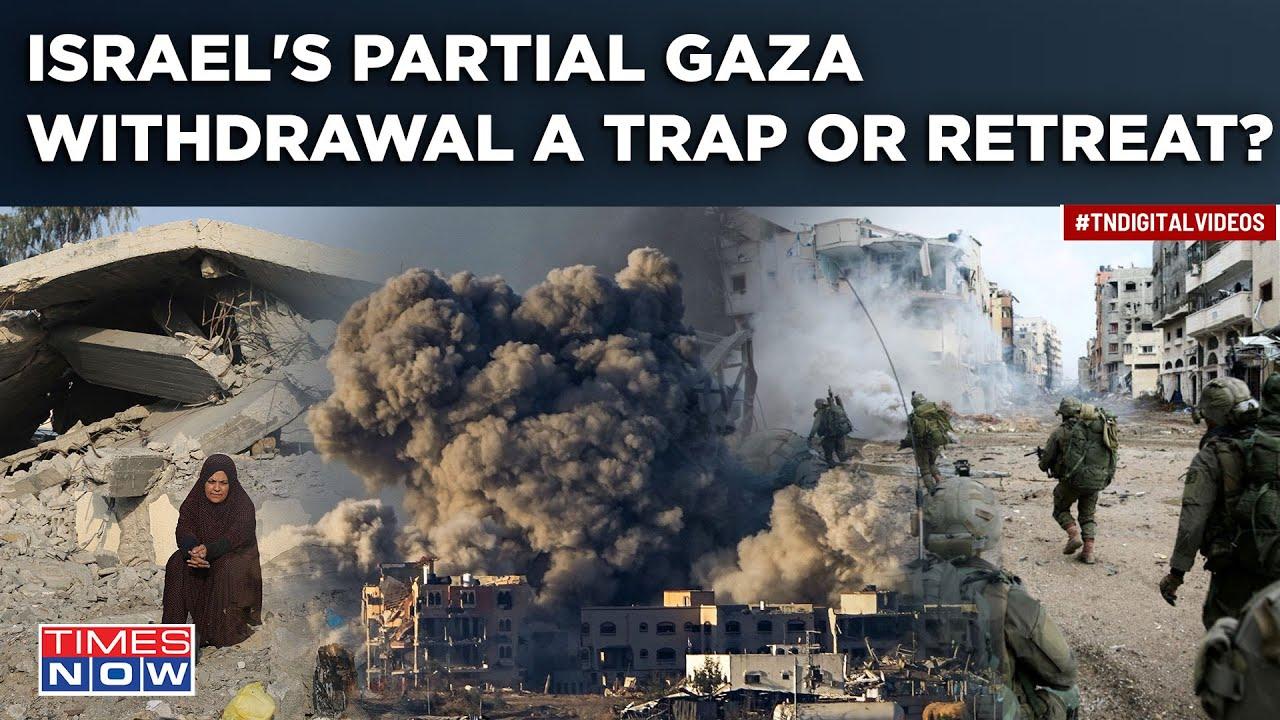
Scope and timeline of the partial withdrawal and expected zones of control
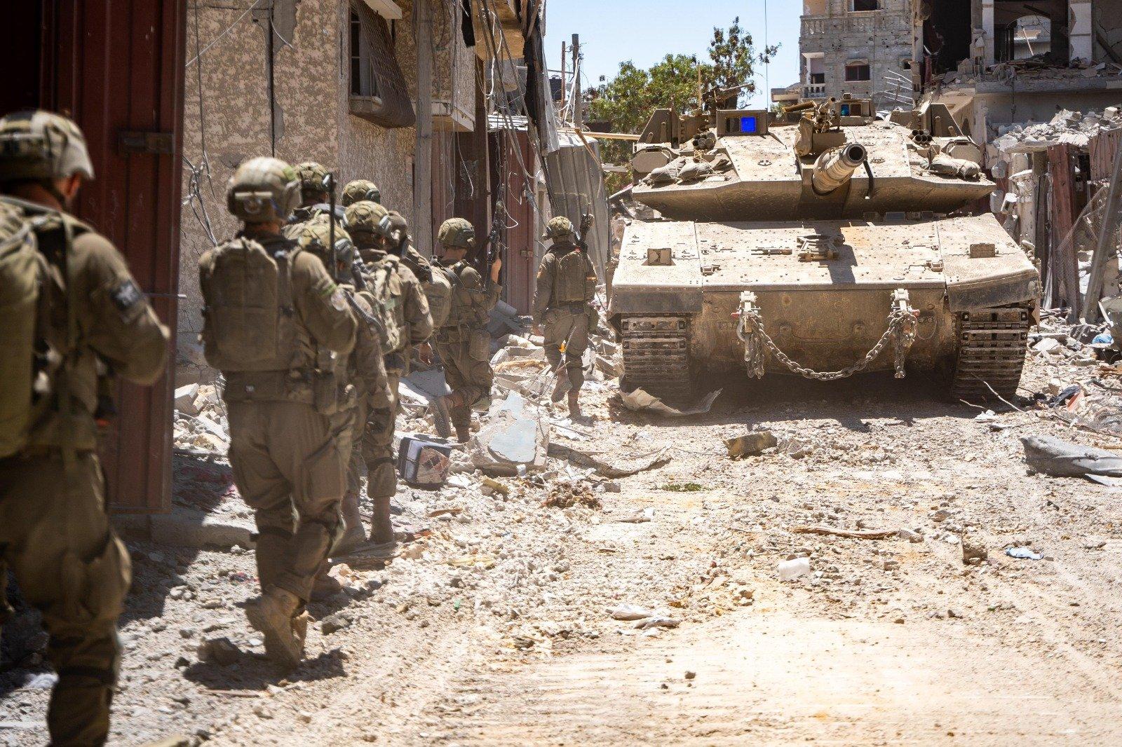
Sources familiar with the operational planning describe a phased, conditions-based drawdown that prioritizes force protection while expanding humanitarian access. Initial steps are expected to reduce troop density in areas where major clearance operations have reportedly concluded, with quick-reaction units and overwatch elements remaining to enforce deconfliction lines. Commanders are said to favor a “thin-to-hold” posture, in which heavy formations pull back to pre-selected nodes, leaving engineering, EOD, and ISR assets to secure critical corridors and mitigate booby-trap risks. Rather than fixed dates, the approach appears to hinge on trafficable route integrity, aid flow metrics, and an acceptable threshold of indirect fire, with adjustments anticipated after each review cycle.
| Phase | Window | Area focus | Key actions |
|---|---|---|---|
| 0 – Prep | 3-5 days | Transit hubs | Route marking, demining, staging |
| 1 – Thinning | 1-2 weeks | Northern belts | Unit rotation, checkpoint rationalization |
| 2 – Consolidation | 2-3 weeks | Central corridors | ISR overwatch, logistics lanes |
| 3 – Handover | Conditions-based | Perimeter & crossings | Perimeter defense, liaison nodes |
As the footprint scales down, the map is expected to harden into clearly signposted control zones designed to limit miscalculation and smooth aid delivery. Planners have floated a layered model featuring the following components, each with distinct rules of movement and communications protocols coordinated through joint liaison cells:
- Buffer bands: Narrow belts along key perimeters with persistent sensors and UAV patrols.
- Joint security corridors: Deconflicted routes for aid convoys, with timed windows and escort points.
- Humanitarian nodes: Staging areas near crossings for medical and food distribution under monitored access.
- Technical safety zones: Marked sectors for EOD and infrastructure repair teams to operate with priority.
- Perimeter hold-sites: Reduced but ready forces positioned to respond to flare-ups without re-entering dense urban areas.
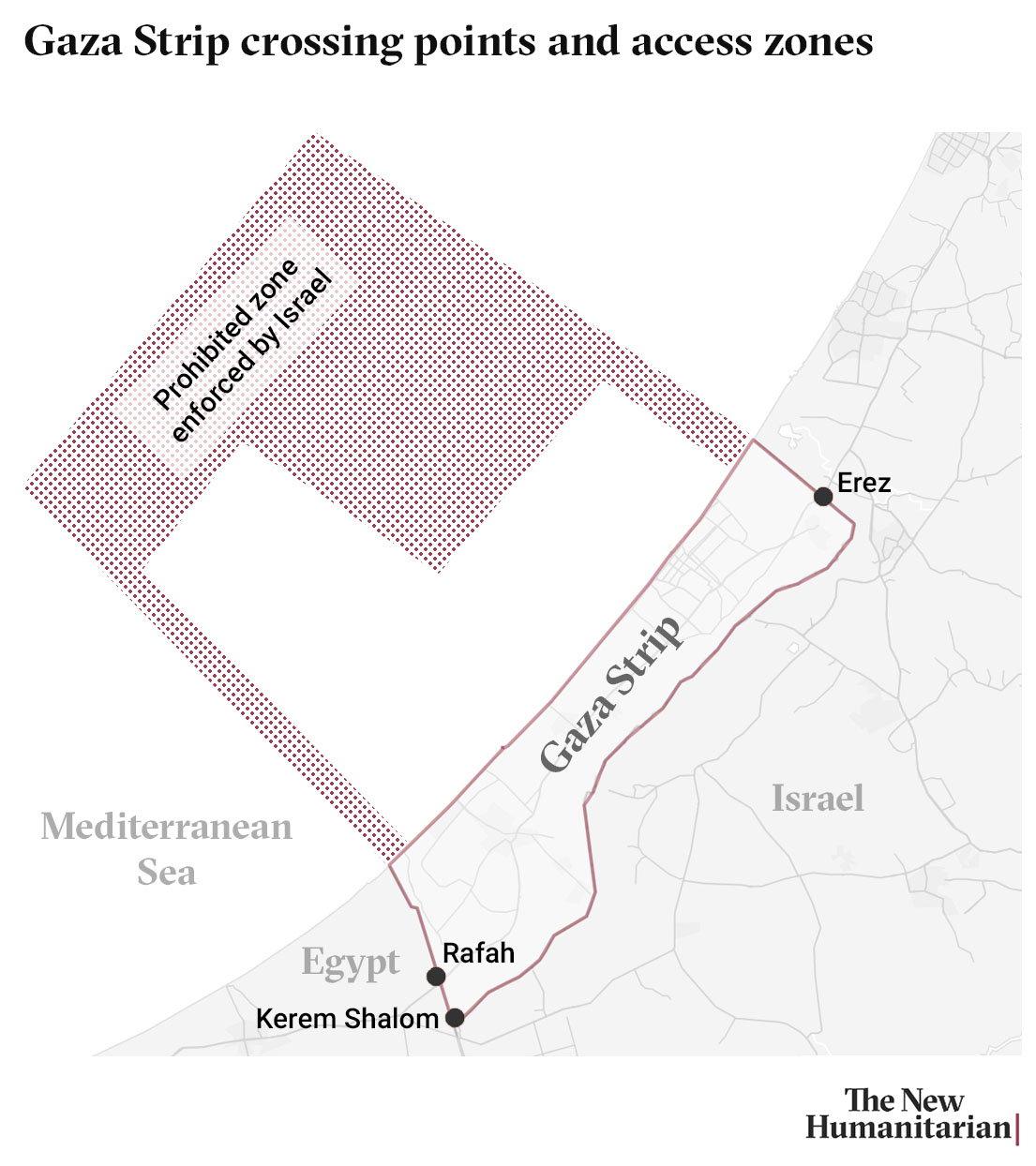
Redeployment posture inside Gaza and adjustments to border security and deterrence
Sources describe a shift toward a lighter, more agile footprint designed to keep pressure on militant networks while lowering the day-to-day signature of Israeli forces. Under this approach, units would consolidate around key corridors, maintain mobile quick-reaction teams, and rely on intelligence-led raids rather than wide-area sweeps. Logistics nodes are expected to be streamlined, while ISR coverage-from drones to aerostats-remains persistent to preserve situational awareness. Humanitarian deconfliction remains embedded: protected routes for aid convoys, predictable windows for civilian movement, and coordination cells that link field commanders with relief agencies.
- Force Mix: Light mechanized elements backed by stand-off fires, held on-call rather than continuously forward.
- Tactics: Targeted entries, time-bound presence, and rapid exfiltration to avoid static exposure.
- Coordination: Shared maps and deconfliction protocols with international and local aid actors.
- Risk Controls: Graduated response ladder, civilian proximity checks, and post-action assessments.
| Axis | Inside Gaza | Border Belt |
|---|---|---|
| Force Size | Lean, rotational | Reinforced, layered |
| Tempo | Intermittent raids | Continuous patrol |
| ISR Focus | Target development | Perimeter cues |
| Risk Mitigation | Deconfliction windows | Buffer-zone alerts |
| Escalation Trigger | Network reconstitution | Cross-border attempts |
Along the frontier, planners outline layered deterrence: upgraded sensors along the fence, counter-infiltration barriers, and tightened air-defense coverage to blunt rocket or drone threats. Patrols shift to a rhythm that balances vigilance with community resilience-rapid repair teams for damaged infrastructure, integrated alerting for civilians, and clear rules of engagement to avoid inadvertent escalation. Deterrence messaging, according to sources, is calibrated around predictability: limited, precise responses to violations, preservation of strategic ambiguity on red lines, and sustained readiness to surge if indicators suggest a renewed massed attack.
Humanitarian corridors aid delivery and reconstruction planning amid a phased exit
Humanitarian corridors are being mapped as fluid, deconflicted lanes that connect border depots to population centres, allowing food, water, fuel, and medical supplies to move on predictable schedules while units redeploy in stages. A joint civil-military liaison cell, in coordination with UN and NGO partners, is drafting route cards, signage, and contingency detours to keep convoys visible and verifiable without exposing them to bottlenecks or ad hoc checkpoints. The approach prioritises time-bounded access windows, simplified inspection points, and mobile communications nodes so that drivers, medics, and engineers can coordinate in real time and pause safely if conditions change.
In parallel, planners are aligning early recovery with the phased drawdown: rapid damage assessments feed into neighbourhood-level work orders for debris clearance, tent-to-shelter transitions, and the restart of essential services. Micro-grids, temporary pumping stations, and modular clinics are queued to follow the aid corridors, creating a spine for reconstruction sequencing-from restoring bakeries and cold chain capacity to stabilising schools and water networks-so that relief, recovery, and security footprints reinforce rather than obstruct one another.
- Deconfliction maps shared daily with UN/INGO convoys and local councils
- Single-lane, one-way stretches to prevent gridlock and reduce dwell time
- Pre-cleared manifests with tamper-evident seals and GPS-tracked vehicles
- Medical priority flags for oxygen, antibiotics, dialysis consumables
- Fuel allotments earmarked for bakeries, desalination, hospital generators
- Community focal points to coordinate last‑mile distribution and feedback
| Corridor | Safe‑Passage Window | Entry Hub | Priority Loads |
|---|---|---|---|
| Southern Spine | 06:00-10:00 | Commercial Gate (South) | Staple foods, potable water |
| Coastal Link | 11:00-14:00 | Coastal Staging Area | Fuel, cold-chain meds |
| Central Artery | 15:00-18:00 | Central Inspection Node | Shelter kits, WASH kits |
| Northern Service Route | 19:00-21:00 | Urban Relief Hub | Medical supplies, generators |
Recommendations for mediators donors and local authorities to synchronize deconfliction verification and oversight
As troop deployments shift, coordination should pivot to a civilian-first operating picture that is fast, transparent, and predictable. Establish a neutral, joint Civic Assurance Cell-co-chaired by a mediator and a municipal coordinator, with a donor-funded technical backbone-to serve as the single hub for route clearances, site status, and incident intake. Align actors on a 72-hour rolling plan that locks in convoy windows, repair crews, and health outreach, while publishing a red/amber/green map layer for guaranteed, conditional, and denied zones. All assets-shelters, clinics, water points-should carry a unique ID and standardized metadata so that approvals, pauses, and after-action reviews are traceable and auditable.
- Mediators: run a 24/7 deconfliction hotline; circulate daily route bulletins and “no-go” updates; triage incidents within 30 minutes with written dispositions; convene crossline calls at set hours to lock the next day’s plan.
- Donors: tie funding to use of the shared operational picture; underwrite independent verification teams and secure comms; require open, non-sensitive data releases and publish on-time performance metrics; finance mobile repair units that can pivot within the planning window.
- Local authorities: appoint a single authorization desk; synchronize curfews and convoy windows across districts; whitelist vetted contractors; push geo-targeted SMS/Radio alerts for route changes; archive all permits against asset IDs to enable rapid audits.
| Function | Lead | Tool | Cadence |
|---|---|---|---|
| Route Clearance | Mediator | Hotline + RAG Map | AM/PM lock |
| Site Verification | Donor | Field Teams + Geotag | 48h cycle |
| Convoy Scheduling | Local Authority | Permit Desk | Daily |
| Oversight & Complaints | Joint Cell | Ticket Registry | Real-time |
Verification must be speedy without sacrificing due process. Adopt light-touch evidence standards (timestamped photos, GPS traces, witness logs) and publish time-stamped decision trails for approvals, denials, and pauses. Create a community feedback loop-hotline, WhatsApp, and in-person kiosks-that feeds a public, privacy-safe dashboard of resolved and pending cases. Require weekly, plain-language accountability briefs detailing corridor performance, incident trends, and corrective actions, and institute a red-team check every two weeks to stress-test assumptions, close gaps, and reaffirm the primacy of civilian protection as ground conditions evolve.
To Wrap It Up
As the IDF shifts from planning to positioning, the questions move from whether to how and when. What “partial withdrawal” ultimately means-its scope, sequence, and safeguards-will be measured not by pronouncements but by verifiable changes on the ground, from altered troop footprints to new patterns of access for aid and movement.
For residents, commanders, and diplomats alike, the coming days will test assumptions and redraw expectations. Until the picture clarifies, the lines of this moment remain tentative-sketched in pencil rather than ink, awaiting the pace of events to decide which ones endure.